


National Water Intelligence
Water information for better decisions.
A unified Hydro Information System for viewing water resources, spatial datasets, infrastructure and decision-support information.
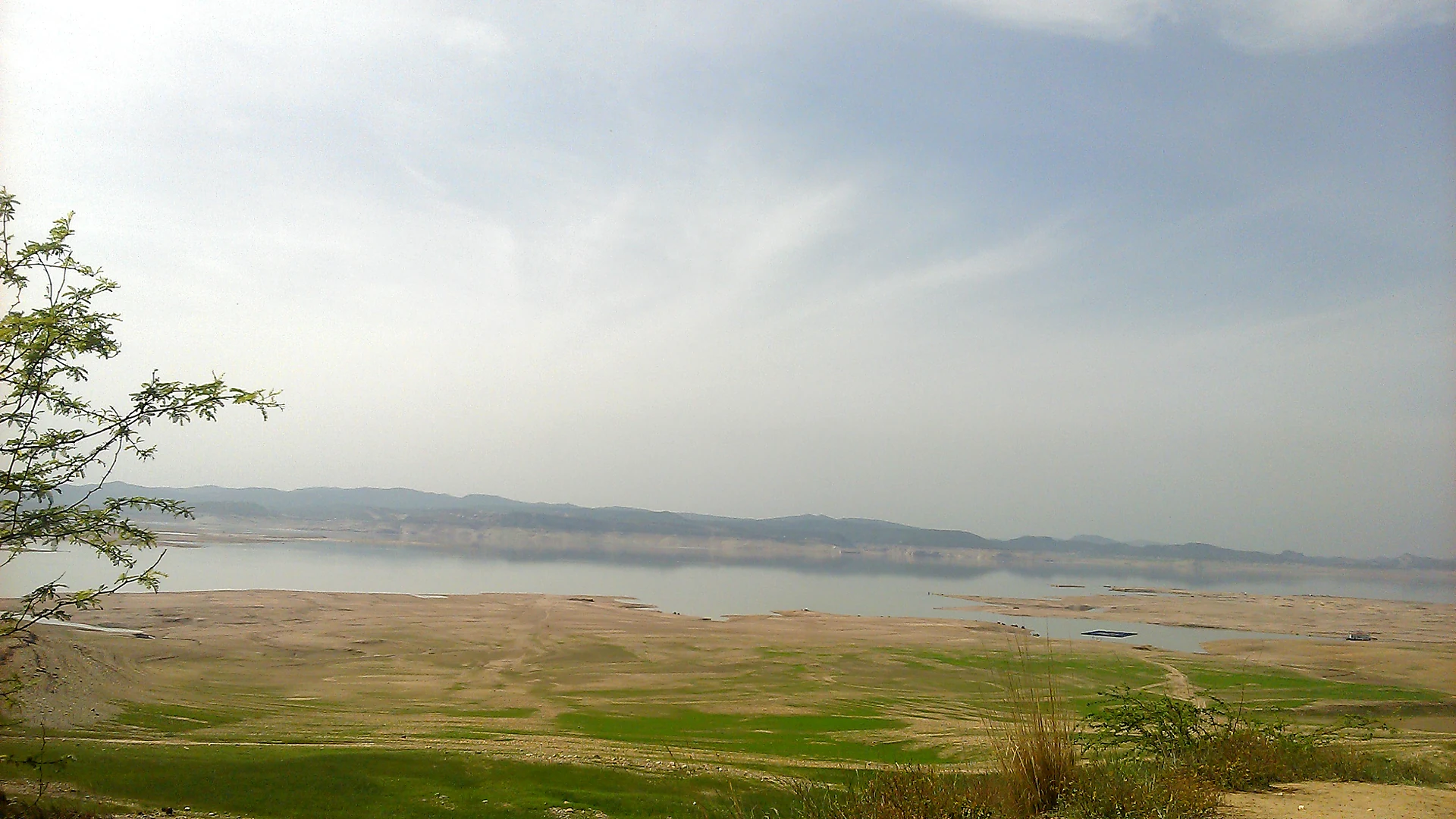
Mangla Dam Lake, photo by Noer Kyani, Wikimedia Commons, CC BY-SA 3.0, cropped and converted to WebP
Integrated Spatial Monitoring
Explore infrastructure, hydrology and water security.
Bring reservoirs, rivers, irrigation systems, projects and monitoring information into one responsive WebGIS environment.
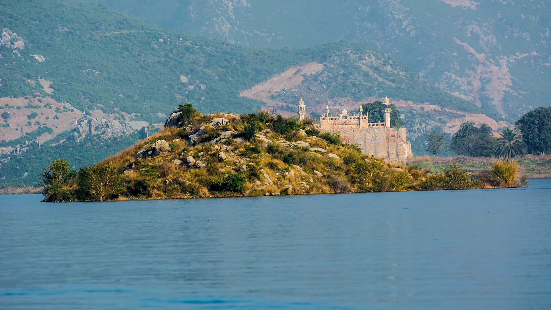
Khanpur Dam Lake, photo by M03345148730, Wikimedia Commons, CC BY-SA 4.0, cropped and converted to WebP
Evidence-Based Planning
From national datasets to actionable insight.
Support planning, monitoring and reporting through authoritative maps, organized datasets and role-based access to the web map.
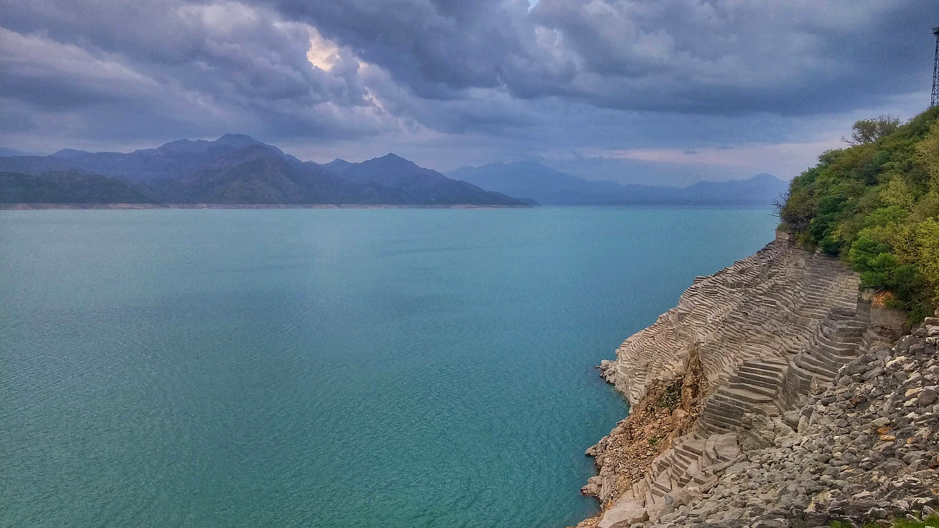
Tarbela Dam, photo by Zakariahazro, Wikimedia Commons, CC BY-SA 3.0, cropped and converted to WebP